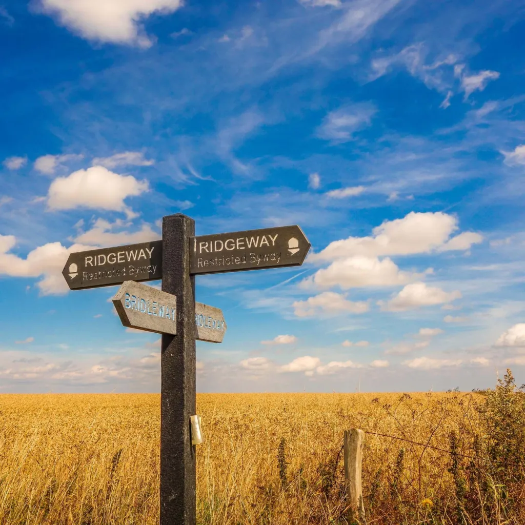
If you want to get up onto the Ridgeway near Wantage, this page sets out where the trail runs, which mapped walks start from which village, and what you pass on the way. It is written for people after a Sunday morning loop, for families picking an easy stretch, and for visitors planning a longer day on the Downs. Parking notes, a short history and a kit checklist come further down.
The short version
- The trail follows the chalk ridge to the south of town, so every route from Wantage starts with a climb.
- The usual start points are the villages below the ridge: Letcombe Bassett, Ardington, East Hendred and Uffington.
- Mapped routes run from 1.7 miles (2.7 km) at White Horse Hill up to 15.8 miles (25.4 km) towards Goring and Streatley.
- Segsbury Camp and the Wantage Monument share one 8.5 mile (13.7 km) route from Letcombe Bassett.
- There are no shops, taps or shade on the ridge, so carry water and a windproof layer.
Where to join the Ridgeway near Wantage
The track runs along the top of the downs south of town, which means a climb whichever way you go up. Wantage itself sits at the foot of the chalk. Once you are on the ridge the land opens out, with long views north across the Vale of White Horse and nothing much between you and the weather.
Most walkers drive or walk to a village under the ridge and go up from there. Letcombe Bassett is about 3.8 km south-west of Wantage Market Place and is the start for several downland routes. Ardington, about 3.4 km east, opens up the eastern downs and the Lockinge estate tracks. Uffington, about 9.5 km west, is the base for the White Horse end of the ridge.
Setting off on foot from the centre works too, and it saves moving the car, but expect a steady pull uphill before you reach the open track. Better links for people walking and cycling are set out in the Wantage and Grove walking and cycling plan, which was in planning at the last check in October 2025.
Parking and start points
There is no railway station in Wantage or Grove, so almost everyone arrives by car, by bike or on foot. A Wantage and Grove railway station has been proposed, and at the last check in November 2025 it was still at the proposal stage.
Parking for the downs is informal rather than laid out, and it varies by route. Each walk page on this site gives its own start point and parking notes, so read the page for the route you have chosen rather than guessing from a map. In the villages, keep off field gateways, farm tracks and passing places, and leave room for tractors and horseboxes. Lanes up to the ridge are narrow in places, so reversing may be part of the trip.
Good to know: the track is a working route as well as a path, shared with farm vehicles, horses and bikes, so keep dogs and children close at blind bends.
Ridgeway walks compared
These are the mapped routes on this site that use the ridge or the downland tracks just below it, shortest first. Distances and grades come from each walk page, which also carries the climb, a map and step by step directions.
| Walk | Distance | Grade | Starts from |
|---|---|---|---|
| White Horse Hill, Uffington Castle and Dragon Hill | 1.7 miles (2.7 km) | Moderate | Uffington |
| Woolstone, Wayland’s Smithy and the White Horse | 5.1 miles (8.2 km) | Moderate | Uffington |
| The Devil’s Punchbowl and Hackpen Hill | 5.3 miles (8.5 km) | Moderate | Letcombe Bassett |
| West Ilsley, Scutchamer Knob and the Ridgeway | 5.7 miles (9.2 km) | Moderate | East Hendred |
| Ardington, the Lockinge estate and the Ridgeway | 8 miles (12.9 km) | Moderate | Ardington |
| Segsbury Camp and the Wantage Monument | 8.5 miles (13.7 km) | Moderate | Letcombe Bassett |
| The Ridgeway from White Horse Hill to Wantage | 9.7 miles (15.6 km) | Challenging | Letcombe Bassett |
| The Ridgeway from Wantage to Goring and Streatley | 15.8 miles (25.4 km) | Challenging | Ardington |
For a first taste of the ridge, the short loop at White Horse Hill packs a hill fort, a chalk horse and a flat-topped knoll into under two miles. If you want a proper half day with a dry valley and a big skyline, the Devil’s Punchbowl route is the pick. The two challenging routes are long point to point walks, so work out how you are getting back before you leave the house.
- White Horse Hill, Uffington Castle and Dragon Hill 1.7 miles · Moderate
- Woolstone, Wayland’s Smithy and the White Horse 5.1 miles · Moderate
- The Devil’s Punchbowl and Hackpen Hill 5.3 miles · Moderate
- Ashbury, Ashdown House and Alfred’s Castle 7.4 miles · Moderate
- Segsbury Camp and the Wantage Monument 8.5 miles · Moderate
- The Ridgeway from White Horse Hill to Wantage 9.7 miles · Challenging
- The Ridgeway from Wantage to Goring and Streatley 15.8 miles · Challenging
- Ardington, the Lockinge estate and the Ridgeway 8 miles · Moderate
- West Ilsley, Scutchamer Knob and the Ridgeway 5.7 miles · Moderate
The Wantage Monument and Segsbury Camp
Two landmarks give the downs above town their character, and one mapped walk takes in both. Segsbury Camp is an Iron Age hill fort right beside the trail, and its earth banks still ring the hilltop; from the ramparts you look back down over the rooftops and out across the Vale. The Wantage Monument stands on the open grass a little further along, a stone memorial carrying the name of Lord Wantage, whose family estate lay at Lockinge to the east of town.
The route that links them, Segsbury Camp and the Wantage Monument, is 8.5 miles (13.7 km) and graded moderate from Letcombe Bassett. It is a full morning with a stop, and much of it is on broad track rather than narrow field paths.
Other landmarks sit along the same ridge. Scutchamer Knob is an ancient mound beside the track above East Hendred. Wayland’s Smithy, a long barrow set in a ring of beech trees, lies west of Uffington, near Uffington Castle and the White Horse. Hackpen Hill and the dry combe known as the Devil’s Punchbowl are the big shapes in the chalk south-west of town.
Why the Ridgeway is famous
It is often called Britain’s oldest road. The route sticks to high, dry ground along the chalk, which made it usable long before there were surfaced lanes in the valley, and the line of it is marked by burial mounds, hill forts and ancient earthworks for mile after mile. The name itself is old: Anglo-Saxon writers used it for tracks that followed a ridge.
- About 3,500 BC: Wayland’s Smithy, a neolithic long barrow, built on the downs west of Uffington.
- Bronze Age: the White Horse cut into the chalk on the hillside above Uffington.
- First millennium BC: Iron Age hill forts raised along the ridge, among them Uffington Castle and Segsbury Camp.
- Anglo-Saxon period: the word ridgeway comes into use for tracks that keep to high ground.
- 1973: the route opens as a National Trail, about 87 miles (140 km) end to end.
How hard is it, and how long to walk it all
Underfoot it is gentler than most hill walking. West of the Thames the path is a wide chalk and flint track with steady gradients and few stiles, so the stretch of the Ridgeway near Wantage suits anyone used to a long flat walk. The difficulty comes from distance and exposure. The ridge is open, the wind has nothing to slow it, and after heavy rain the ruts hold water and the chalk turns greasy.
The full National Trail runs about 87 miles (140 km) from Overton Hill in Wiltshire to Ivinghoe Beacon in Buckinghamshire. At around 12 miles a day that works out at roughly a week of walking, and plenty of people do it in day stages spread over months instead. For stage distances and the official route, see the National Trail pages for the Ridgeway.
From here, the nearest long section makes a good single day: White Horse Hill to town is 9.7 miles (15.6 km) and graded challenging, mostly because of its length rather than any steep ground.
Shorter walks when the ridge feels too far
Some days you want flat ground, shelter and a loop you can finish in an hour. These mapped walks start in or close to town and stay under five miles, which suits small legs, a short winter afternoon or a recovery day after a long one on the chalk.
- Wantage town and the Letcombe Brook 1.8 miles · Easy
- The Wantage Arm and the Wilts & Berks Canal 4.2 miles · Easy
Where to eat and drink afterwards
Plan your food for the bottom of the hill. There are no shops, cafés or taps on the ridge, so carry what you need and save the proper meal for town or one of the villages underneath the downs. Pubs listed for Wantage are below. Opening patterns vary, and midweek afternoons can be quiet, so ring ahead if you are counting on a late lunch or arriving with a group. Listings are free, and Featured listings are always labelled.
 The Greyhound InnPlaces to stay · Letcombe RegisBreakfast · Dog friendly · Family friendly
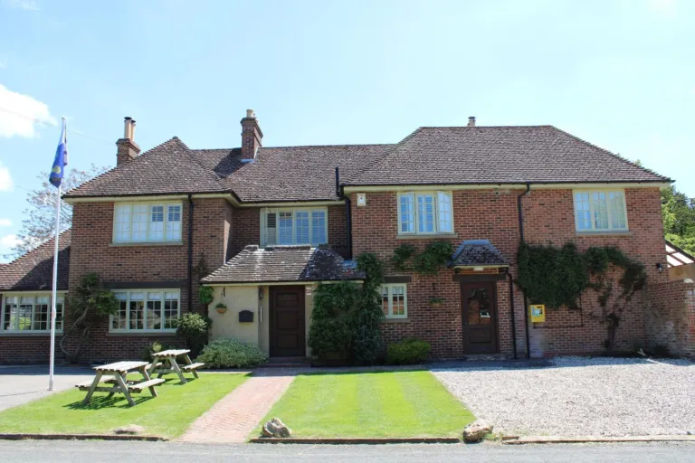 The Blowing Stone InnPlaces to stay · Kingston Lisle
- TThe Fox and Hounds, UffingtonPubs & bars · Uffington
 The Boar’s HeadPubs & bars · ArdingtonGarden or outdoor seating · Sunday lunch
 The WheatsheafPubs & bars · East HendredDog friendly · Garden or outdoor seating · Private hire
 The Eyston ArmsPubs & bars · East HendredFamily friendly · Garden or outdoor seating · Private hire
Before you set off
Walking the Ridgeway near Wantage needs little kit, but the open ground punishes anyone who turns up in trainers on a wet February morning. Run through this before you leave.
Before You Set Off
- Boots or trail shoes — wet chalk and flint get slippery
- Windproof layer, even on a warm day
- Enough water for the whole walk — no taps on the downs
- Paper map or offline map (signal drops in places)
- Dog lead where sheep, cattle or horses are grazing
- Early start in winter — no lighting on the track
- Walk page for your route: parking, climb and directions
- Boots or trail shoes, because wet chalk and flint get slippery.
- A windproof layer, even on a warm day, since there is no shelter on the ridge.
- Enough water for the whole walk; there are no taps on the downs.
- A paper map or an offline map on your phone, as signal drops in places.
- A lead for the dog where sheep, cattle or horses are grazing.
- In winter, an early start: the track has no lighting at all.
- The walk page for your route, for the parking, the climb and the directions.
Check the forecast and the walk page the night before, and remember that farm work, livestock and ploughed field edges can change the going at short notice. If a gate or a waymark is wrong, let us know so the page can be corrected.
For more routes in the area, including the easier valley loops and the canal path, browse the mapped walks near Wantage and pick by distance and grade.