
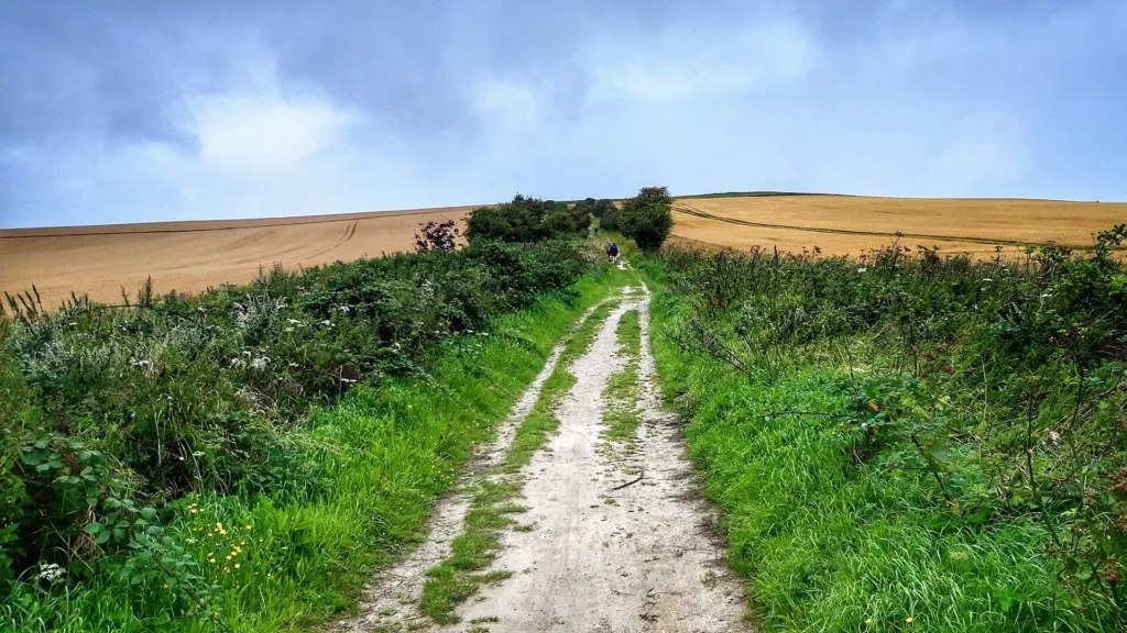

A road along the chalk
South of Wantage the chalk of the Berkshire Downs rises to a steep north-facing edge, and along its crest runs the Ridgeway, a broad green track. It is often called Britain’s oldest road. For thousands of years people used the high, dry chalk as a route across southern England, and the line is marked by monuments from every period: the Neolithic tomb at Wayland’s Smithy, Bronze Age barrows, the Iron Age hillforts of Uffington Castle and Segsbury Camp, and the Saxon meeting place at Scutchamer Knob. Saxon and Danish armies used it; the Anglo-Saxon Chronicle describes the Danes marching along the downs to Cwichelm’s barrow in 1006. In later centuries drovers brought livestock along it towards the markets of the south-east.
Before enclosure the Ridgeway was a loose band of parallel tracks, with travellers choosing the best going. The hedges and banks that now define it mostly came with the enclosure of the downland parishes in the late 18th and early 19th centuries.
The Icknield Way and the Portway
Below the downs, along the spring line where the villages stand, runs a second old route. Anglo-Saxon charters from 903 onwards name an ‘Icenhilde weg’ at places including Hardwell in Uffington and Lockinge, and around Wantage the name Icknield Way is usually given to this lower road, followed in part by the B4507 west of the town. Further north, the Portway linked Wallingford and Wantage along the line of the A417. Writers have often confused the three: the Victoria County History warned that the Ridgeway was ‘often confused with the Icknield Way’, and some historians now doubt that a single prehistoric Icknield Way existed at all.
The National Trail
The idea of a long-distance path along the downs goes back to the Hobhouse Committee of 1947. The Ridgeway National Trail was designated in 1972 and opened in 1973. It runs 87 miles from Overton Hill near Avebury to Ivinghoe Beacon in the Chilterns; the stretch above Wantage follows the ancient track closely. Some sections are byways where vehicles are allowed, subject to seasonal restrictions.
Visiting
The Ridgeway crosses the A338 south of Wantage, where this entry is mapped, and there are Ridgeway car parks at White Horse Hill, Sparsholt Firs, Court Hill, the B4494 and Scutchamer Knob. Our walks section describes routes along it in both directions from Wantage. The trail is open at all times, but it is exposed, with little shade or water.
Nearby
Along this stretch are Wayland’s Smithy, Uffington Castle and the White Horse, the Blowing Stone, Segsbury Camp, the Lord Wantage monument and Scutchamer Knob.