

From the Market Place to the Wharf
From the Market Place we walk down past the parish church and follow the brook path between the mill buildings to Mill Street. The open space across the road is the Wharf, where the Wantage Arm of the Wilts & Berks Canal ended. The canal was finished in 1810 and ran for 51 miles from the Kennet & Avon near Melksham to the Thames at Abingdon. Barges brought coal, stone and timber into Wantage and carried away flour and farm produce. Trade faded after the railways came, and the canal was formally abandoned in 1914.
The line of the Wantage Arm
The branch was only about a mile long and has been filled in, but a string of footpaths through the Belmont estate follows its route. We take the old path by the former wharf buildings, fork right and weave between the houses; the canal trust’s leaflet points out the remains of a bridge abutment near a children’s play area. Beyond Adkin Way a gravel path heads north-west in a straight line. That straightness gives the canal away. We reach Mably Way near the Denchworth Road roundabout, where the branch joined the main line.
Grove Top Lock
We cross Mably Way carefully and go right along the restored canal towards Grove. Volunteers from the Wilts & Berks Canal Trust have put water back in this stretch and rebuilt Grove Top Lock. Beyond the lock the path reaches the place where an aqueduct carried the canal over the Letcombe Brook. This is our turning point. We retrace our steps to Denchworth Road.
West to East Challow
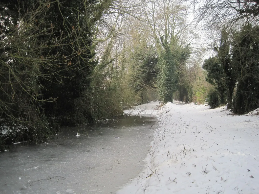
Across Denchworth Road a signed path takes us west along the canal line towards East Challow. Much of this part holds water again, lined with reeds and young trees, and it feels surprisingly rural for somewhere so close to town. The path comes out on the A417 at East Challow.
Back over the fields
We go through the village past the hall and take the footpath uphill across the field to Challow Road, crossing with great care. The pavement leads back towards Wantage past King Alfred’s Academy. We then turn down the path by Naldertown, which drops us back to the Letcombe Brook and Betjeman Millennium Park. From here it is a few minutes past the mills and up to the Market Place.
What to look out for
The restored water already attracts moorhens, mallards and, in summer, damselflies and dragonflies. Kingfishers use the Letcombe Brook, so watch the water near the old aqueduct. Reed buntings sometimes sing from the reeds in spring. In winter the sports pitches beside the old Wantage Arm can hold flocks of starlings, rooks and jackdaws, and lapwings or golden plovers now and then, as the local nature trail leaflet notes. Look at the brickwork where the canal crosses roads and paths. Some of it is original and some is new work by the trust.
Before you go
Wear shoes that can cope with mud on the towpath between October and April. OS Explorer 170 shows the canal line clearly. The trust’s own Wantage and Grove leaflet has a detailed map. Check the Wilts & Berks Canal Trust website for work parties or temporary closures on restored sections.
Make it longer or shorter
For about an hour’s walk, turn back at Grove Top Lock and follow the Letcombe Brook south from the aqueduct to Willow Walk and into town. For a longer day, continue west from East Challow along the canal to West Challow and on to Childrey, following our Childrey and the Challows walk in reverse. East of Grove, the canal path continues towards Grove Common Lock and Wantage Road.


